
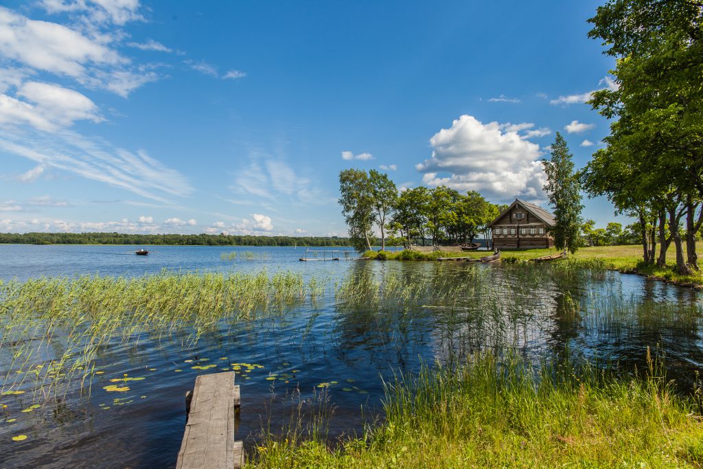
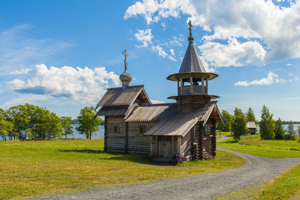
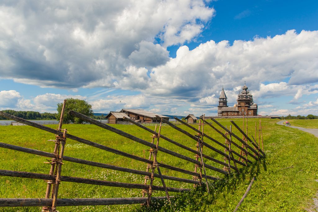
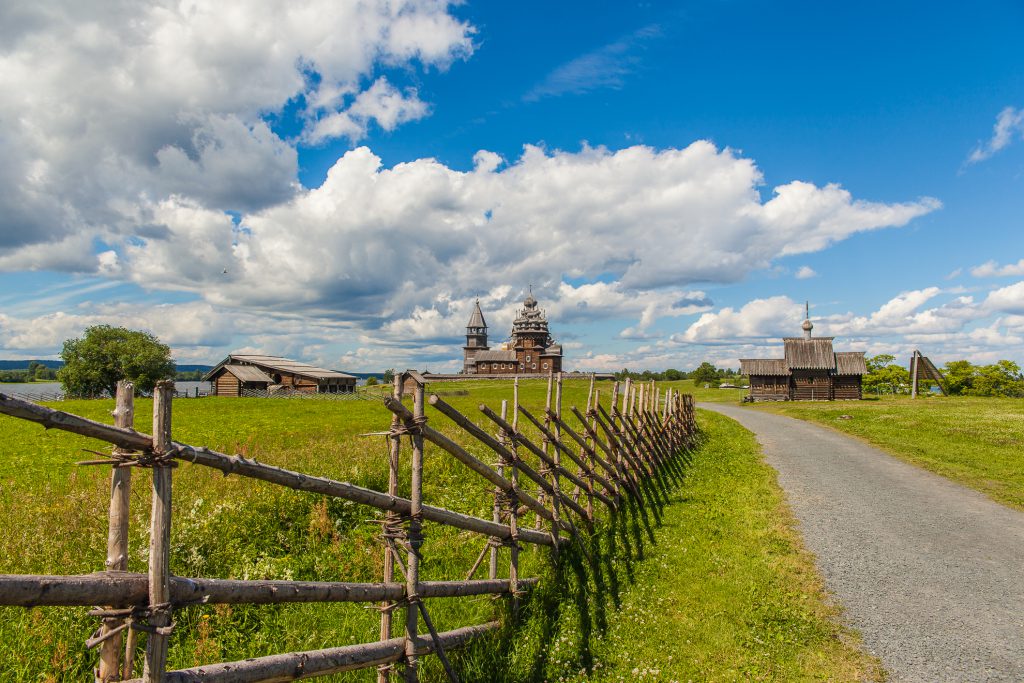

Karelia is one of the most famous Russian territories thanks to the presence of unique architectural, cultural and historical sites on the islands of Kizhi, Valaam and Solovki. They are included in the list of UNESCO World Heritage Sites.
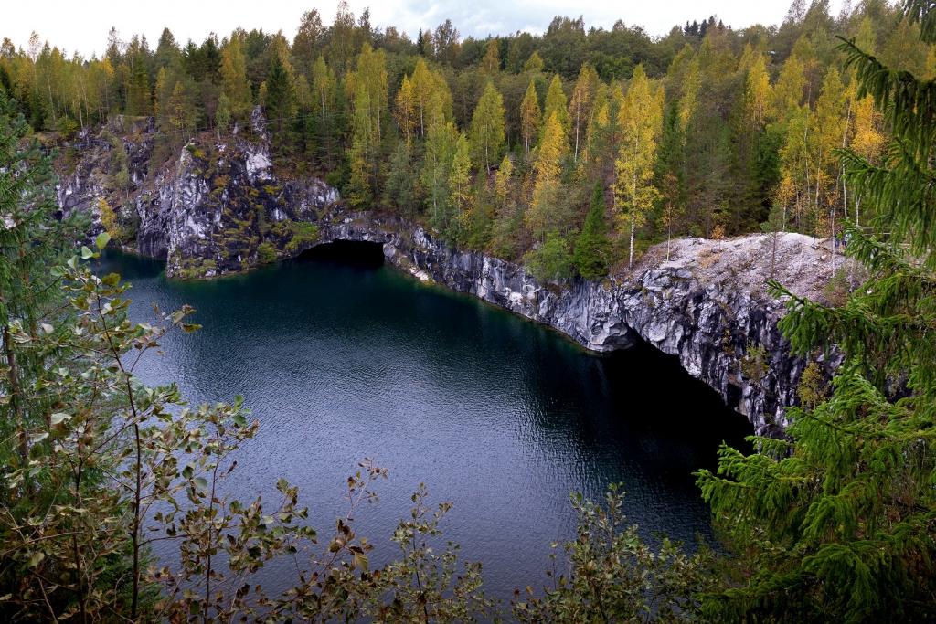
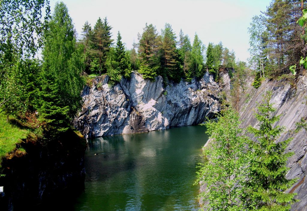
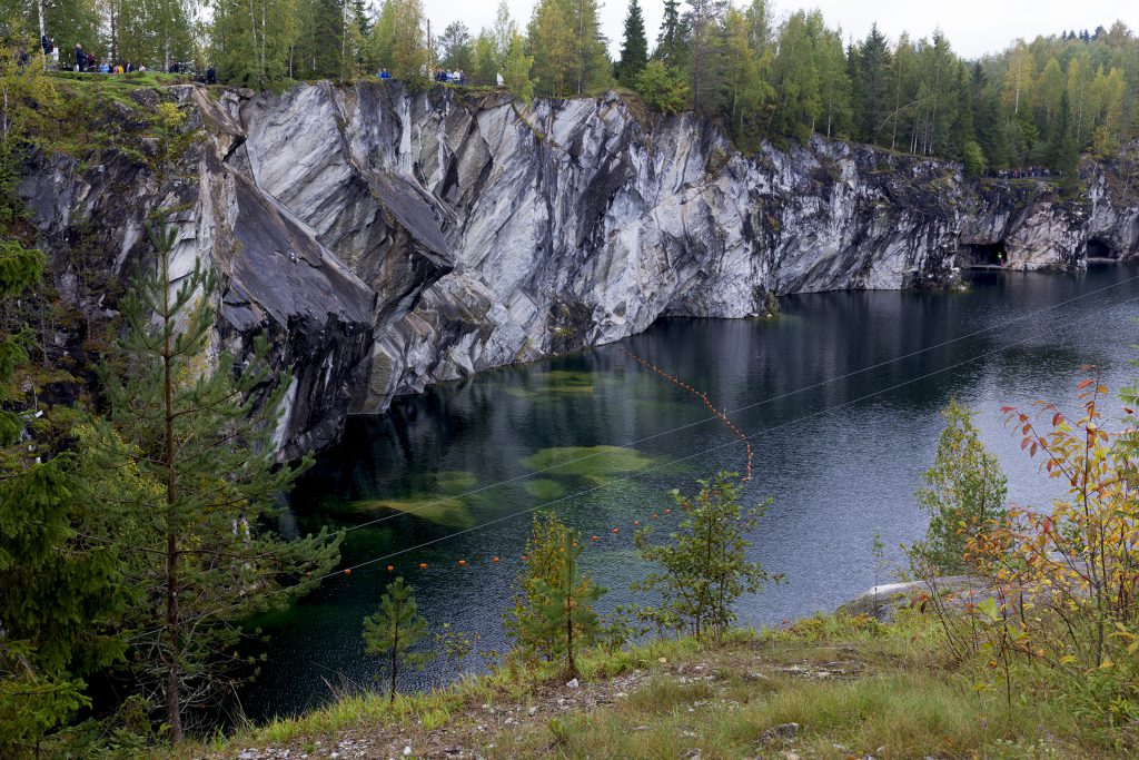
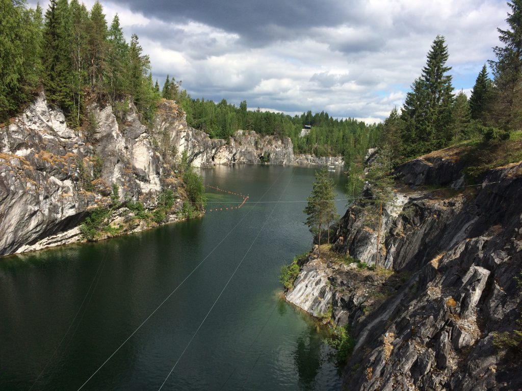
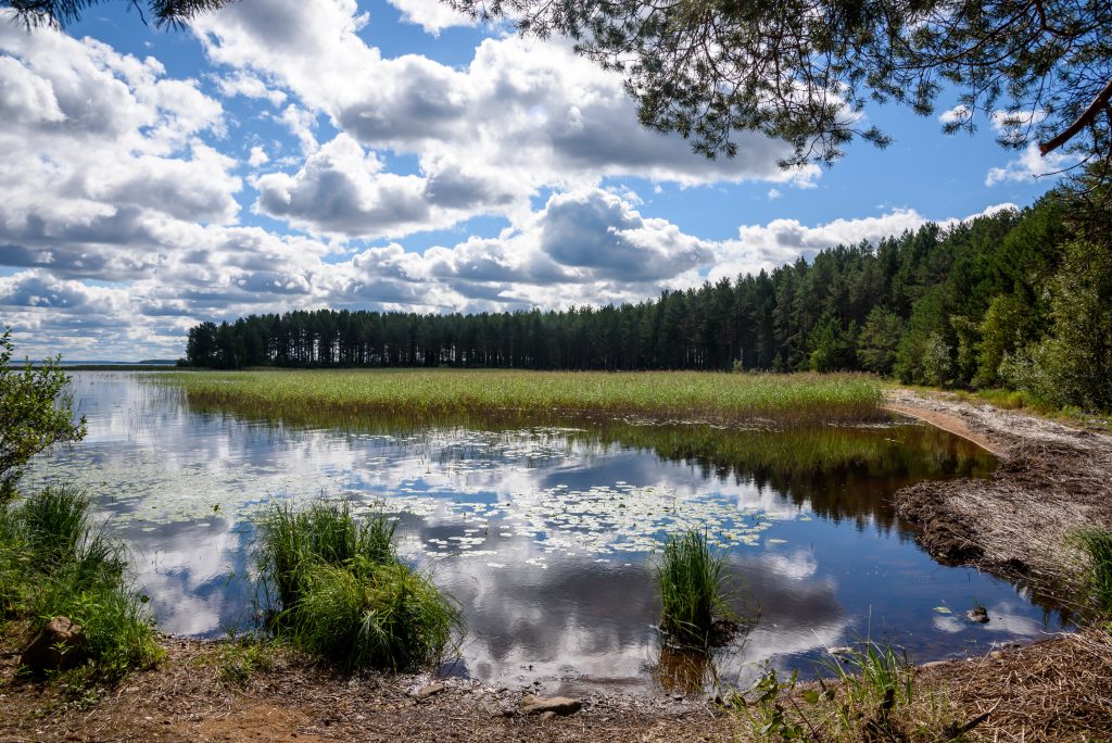
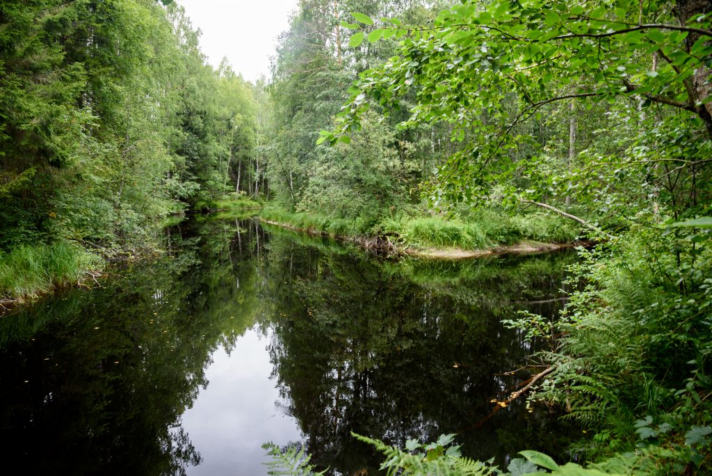
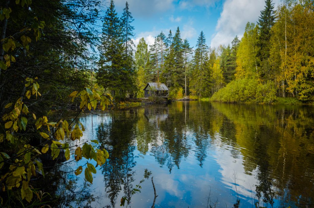
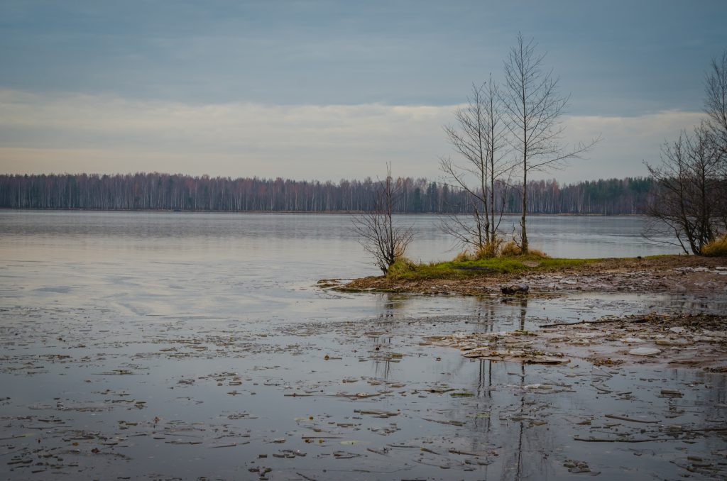
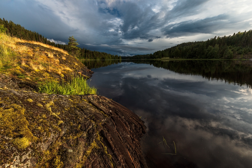
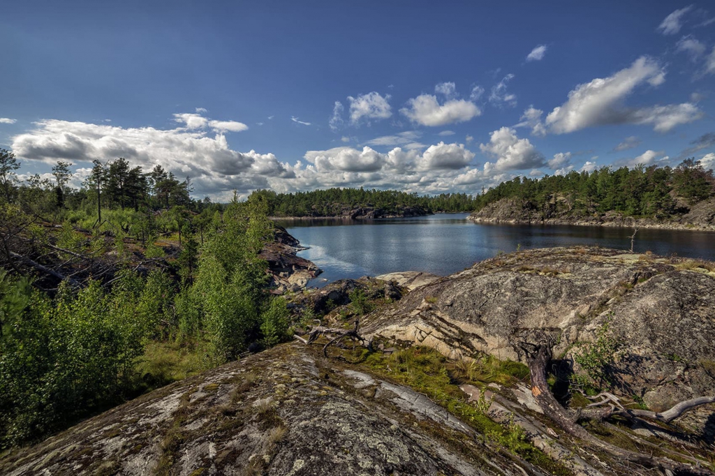
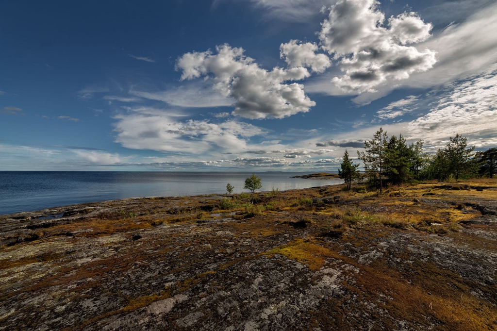
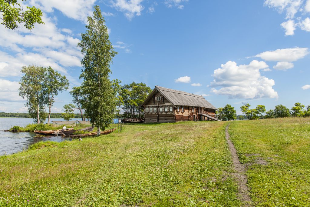
Karelia has about 60000 lakes, including the two largest lakes in Europe – Ladoga and Onega. There are about 27000 rivers in the region. Forests cover about 85% of the territory of Karelia.
Almost one million hectares, or more than 5% of the total area of the region, are protected areas: the national parks «Paanajarvi» and «Vodlozersky», «Kalevalsky», the natural park «Valaam Archipelago», preserves «Kivach» and «Kostomukshskiy», 46 nature reserves, 108 natural monuments.
The Republic of Karelia is situated in northern Europe, in the north-western part of Russia. In the north-east the region is washed by the White Sea. The western border of Karelia is the state border of the Russian Federation and Finland, the European Union. Petrozavodsk is the capital city of the region.
History
People began to settle in Karelia in the 7-6 millennium BC.
In the 9 centuries, the territory of Karelia went into the sphere of influence of Kievan Rus. In the 12 centuries, after the collapse of Kievan Rus, Karelia became part of another ancient Russian state – Novgorod Republic.
At the end of the 13 centuries, Swedes seized part of the land in the western Karelia, where they founded the fortress of Vyborg (1293). However, their further advance was stopped by Russians and Karels. In 1478, Karelia together with other lands of Novgorod Republic was annexed to the Russian state.
Historical and cultural identity of Karelia, which distinguishes it from other regions of Russia, is determined by cultural heritage of four indigenous peoples historically living in this region – Karels, Finns, Veps, Russians.
Average temperature
-13+16
Road transport
Located about 700 km of Moscow.
Air transport
Moscow – Karelia – 1h40m